


About Us
Gap Geophysics (GapGeo) is a progressive technology developer and service provider to the mineral exploration and environmental geophysics industries. GapGeo is managed by a committed group of geophysicists and engineers with over 30 years experience in development of advanced survey instrumentation and techniques.
GapGeo has developed a range of proprietary exploration techniques, with advanced instrumentation and high performance transmitters that enable greater depth of exploration and higher resolution surveys. This allows us to provide clients with better quality & less ambiguous data that are obtained in more efficient & cost-effective ways than possible with conventional instruments and techniques .
Services
GapGeo’s services are based on a range of mostly proprietary instruments and software for both deep search and near-surface applications. Click on any of the images below for more information.
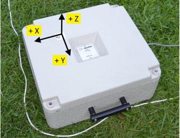
Sub-Audio Magnetics
SAM – Simultaneous measurement of magnetic and electrical properties of the sub-surface
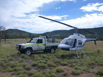
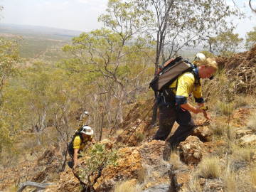
HeliSAM
Low frequency, deep targets, fast coverage
SAMSON
Low frequency, deep exploration
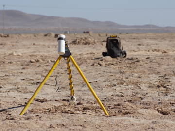
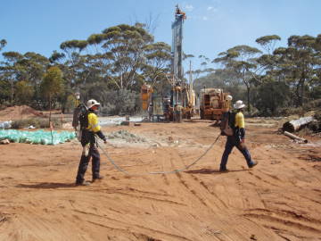
Borehole
EM and MMR Sub- surface Measurements
Induced Polarisation
Mapping ground resistivity and chargeability – time or frequency mode
Surface EM
Mapping groundwater, mining tailings dams, contaminated sites
Environmental
Mapping groundwater, mining tailings dams, contaminated sites
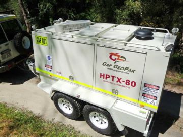
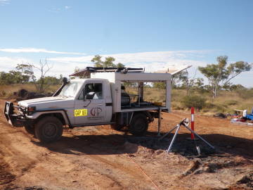
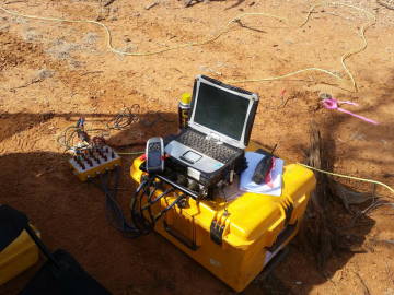
High-Powered Transmitters
High-voltage, high current, or portable transmitters ensure the optimal performance for all survey types
Partner Joint Ventures
Gap Geophysics also offers the following services in joint ventures with our partners Discovery International and Dias Geophysics.
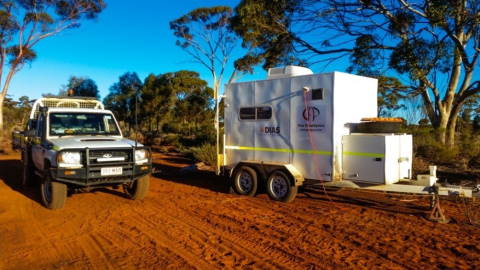
Dias 3DIP
High-resolution 3-D IP is now available in Australia
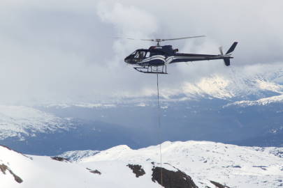
Discovery HeliSAM
GapGeo conducts HeliSAM surveys in Canada through our partner Discovery Geophysics
What Our Clients Say
Spectrum’s Managing Director, Paul Adams said “We are extremely pleased with the quality of the data received from our recent SAM survey at Penny West. The subsequent interpretation, utilizing all of the lithological and geochemical studies we have also recently undertaken, have contributed to a much greater understanding and appreciation of the prospectivity of the Penny West project area.”
Black Cat’s Managing Director, Gareth Solly said: “The drilling results on the interpreted SAM targets are extremely encouraging. The drilling at SAM Target 1 shows that the intersection of the NS and NE structures contains thick, high grade mineralisation. At SAM Target 2, we have identified a mineralised structure providing a clear vector towards potentially high grade mineralisation. SAM surveys are proving to be an effective targeting tool at Bulong.”
“Gap provided great assistance by identifying targets for significant groundwater resources”
Clem Hill, Principal Hydrogeologist for GeoAxiom Pty Ltd
“Gap Geophysics run a highly motivated field team that is customer-focussed and backed up by a technical team that provided Western Gold Resources with a deep understanding of the geophysical process. The use of a SAM survey has provided a new understanding on the structure and pathways for Au-bearing fluids within shear zones at our project and provided the team with several new-targets generated from the survey, which are to be drill-tested in the following months. Western Gold Resources highly recommends Gap Geophysics” – Warren Thorne, Managing Director, Western Gold Resources