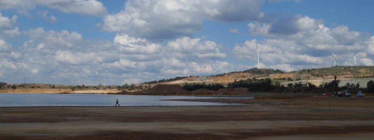
Groundwater
Gap Geophysics can help target large and resilient water sources using Sub-Audio Magnetics (SAM), High Definition Magnetics (HDM), Electrical Resistivity Imaging (ERI) and Time-Domain Electromagnetics (TDEM).
Features & Benefits
- The complementary data sets can be used to define structures and aquifer units
- Analysis of existing geology and geophysical datasets combined with Gap’s geophysical techniques enables prioritization of target locations for water bore development.
- SAM can indicate geology structures favourable as water sources such as fractures sets, shears and faults
- ERI provides precise images and geometry of likely water bearing units and key structures such as faults or shears
- ERI allows for models of resistivity to be generated to ~140m depth
- Gap’s techniques minimise surface environmental disturbance
- Techniques can be used to monitor impacts of dewatering and assess aquifer connectivity
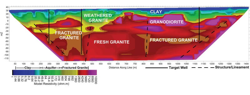
ERI 2D Depth Section model of Resistivity (above) is an example of deep search capability to identify significant groundwater resources within an existing agricultural production region. Existing primary producers were only using shallow alluvial aquifers. Using deep search ERI techniques in concert with Magnetics and Geology data sets, Gap revealed an extensive and resilient resource of high quality groundwater in a fractured granite aquifer
Contact us for further information.